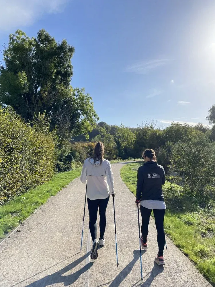
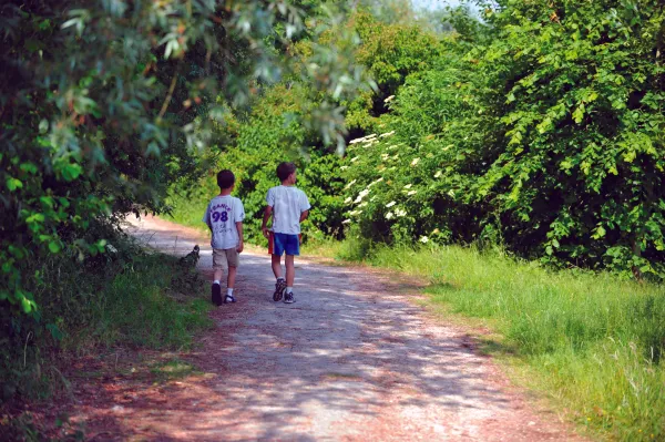
 © CCPL
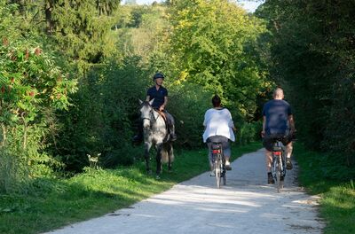
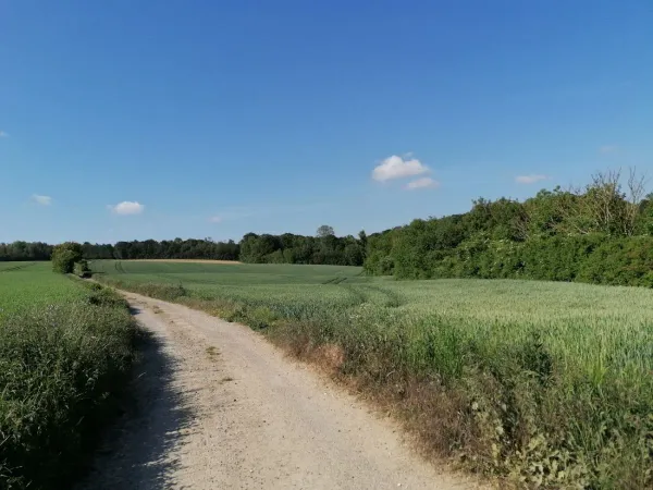
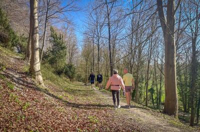
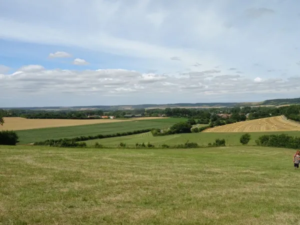
 © Tourisme en Pays de Saint-Omer
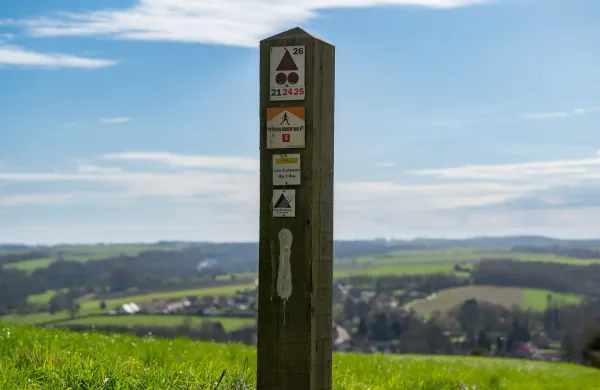
The Valley Loop
Go through the village for 600 m to get back onto the path in the middle of the forest for a useful warm-up before starting the first climb at km 1.6 for 1200 m and 110 m of positive ascent. Once you've reached the highest point of the route, you'll descend a steady 800 m and then 700 m over much steeper terrain! From km 4.3 to km 6, you'll be on a virtually flat course along the banks of the River Aa.
Description
Surface types
Elevation profile
Loading elevation profile…
Route points 1 pts
Weather at start
Chargement…
Share
Scan to open on mobile.
Similar routes
See all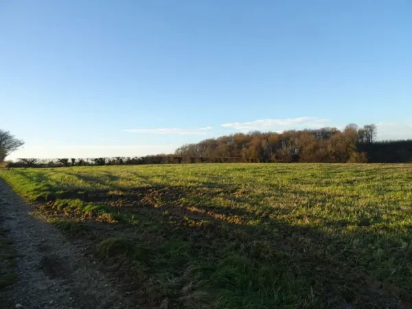
8 major cycle routes, all converging on Lumbres, which cover the whole of the inter-communal area and allow villages to be linked together without having to get into a car.
Read article
Download a GPX route from emmenezmoi.com and follow it easily with your favourite app!
Read article