Road bikesOn footOn the waterOn horsebackNordic Walking
April 18, 2026
I have a GPX file: How do I switch to guidance mode?
Download a GPX route from emmenezmoi.com and follow it easily with your favourite app!
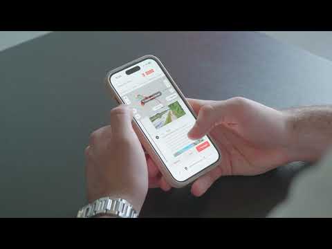
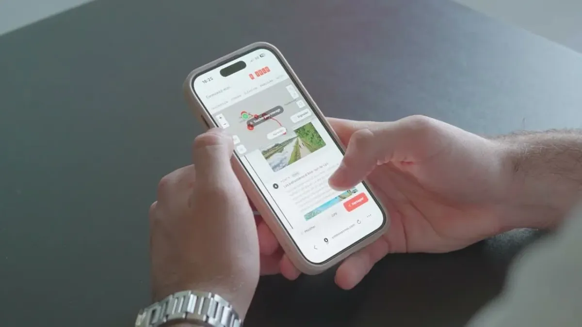
In this video, we take you step-by-step through the process of switching to guidance mode. In particular, you'll learn how to download a route in GPX format, then open it in the application of your choice, such as Komoot, Geovelo, Strava, OpenRunner or Visorando. Once the route has been imported, all you have to do is let yourself be guided!
Simple and practical, emmenezmoi.com becomes your ally in organising your outings and discovering the region in a different way.
👉 Find your next outing and explore in total freedom!
La plateforme d'itinérance touristique du Pays de Saint-Omer. Parcours vélo, randonnées, trails et canoë — sélectionnés et vérifiés par l'Office de Tourisme.
Vélo
Randonnée
Trail
Canoë
L'itinérance en Pays de Saint-Omer
Découvrez la richesse des territoires à explorer
🎒
Votre espace personnel
Particulier ou organisation, créez votre compte gratuitement pour profiter de toutes les fonctionnalités.
Favoris — Sauvegardez vos parcours préférés
Trajets réalisés — Suivez vos km et débloquez des niveaux
Créez vos parcours — Construisez vos itinéraires depuis l'outil de création
Publication officielle — Proposez vos parcours à l'office de tourisme
Profil public — Partagez vos parcours sous votre nom personnalisé
Jeux concours — Participez aux opérations de l'office de tourisme
Carnet de voyage — Bientôt — Racontez vos aventures
Site disponible en français, anglais, néerlandais et allemand.