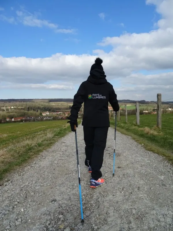
 © © F.Quivrin Comimatex - Tourisme en Pays de Saint-Omer
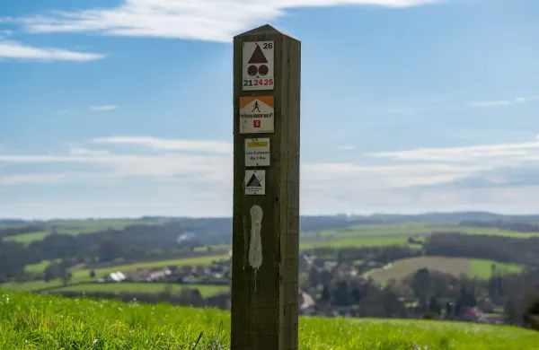
 © © Photo Carl - Tourisme en Pays de Saint-Omer
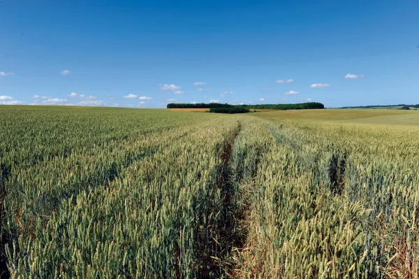
The Lost Path
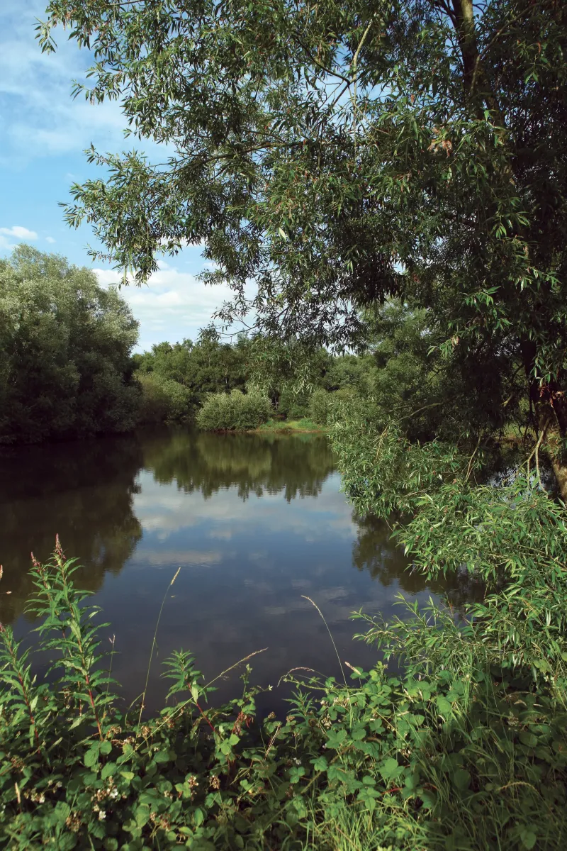
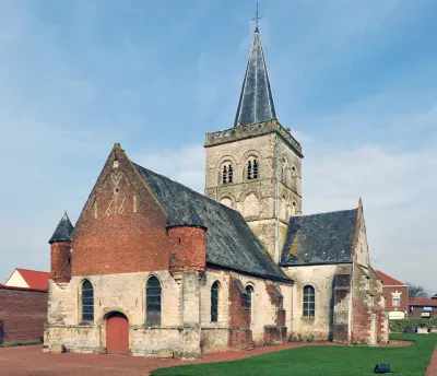
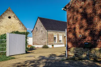
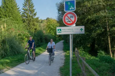
Heuringhem: Situated close to the main roads, Heuringhem stretches from the valley where the Melde flows, a tributary of the Lys, to the Landes plateau. The village dates back to around 800 AD and covers an area of 579 hectares. The village's name is said to come from two Germanic words ''hendrick'' and ''hem'', meaning the home of Lord Henry. Tradition has it that Saint Riquier preached in Heuringhem and converted its inhabitants in the 7th century.
Description
Surface types
Elevation profile
Loading elevation profile…
Route points 1 pts
Weather at start
Chargement…
Share
Scan to open on mobile.
Similar routes
See all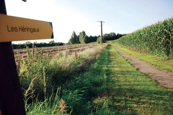

8 major cycle routes, all converging on Lumbres, which cover the whole of the inter-communal area and allow villages to be linked together without having to get into a car.
Read article
Download a GPX route from emmenezmoi.com and follow it easily with your favourite app!
Read article