 © Tourisme en Pays de Saint-Omer

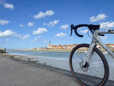
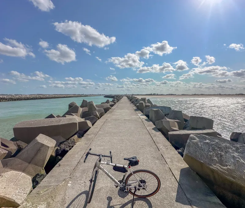
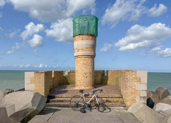
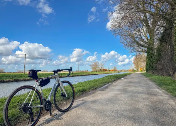
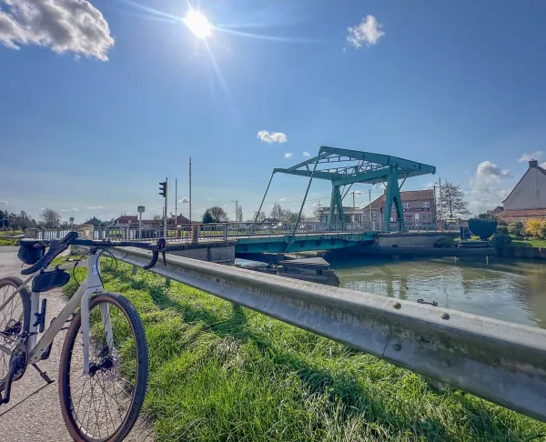
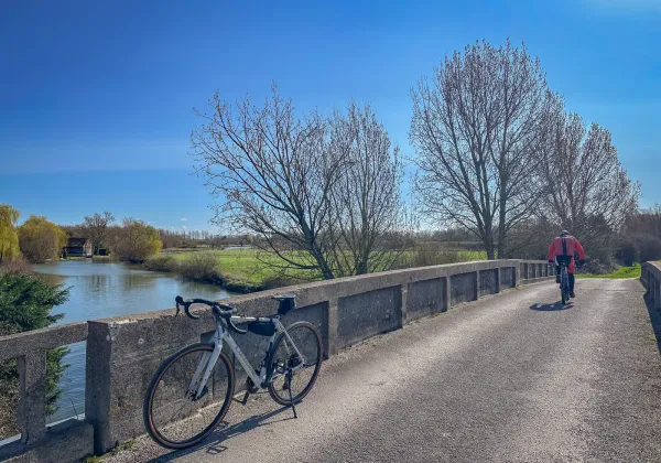
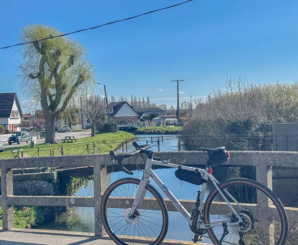
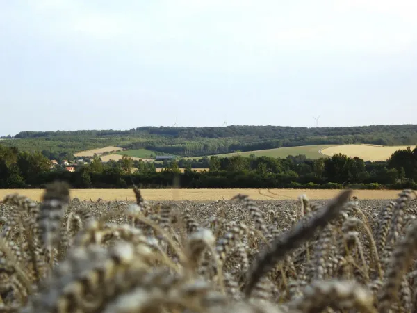
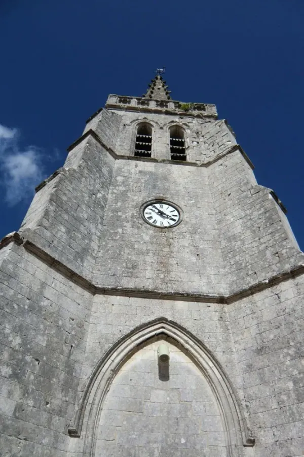
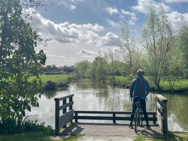
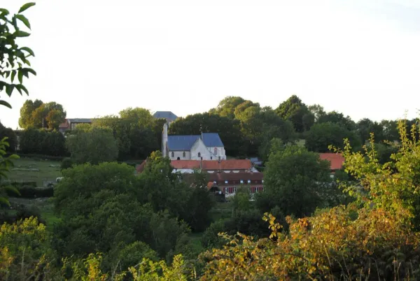
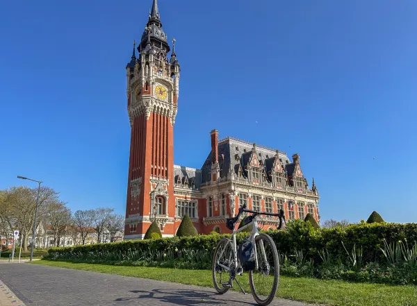
From Grand-Fort-Philippe to Saint-Omer
From Grand-Fort-Philippe, follow the canalised Aa to Saint-Omer. This route plunges you into a peaceful atmosphere along the water, between river landscapes, natural areas and more open countryside.

Description
Elevation profile
Loading elevation profile…
Route points 7 pts · 1 step

Weather at start
Chargement…
Share
Scan to open on mobile.
Similar routes
See all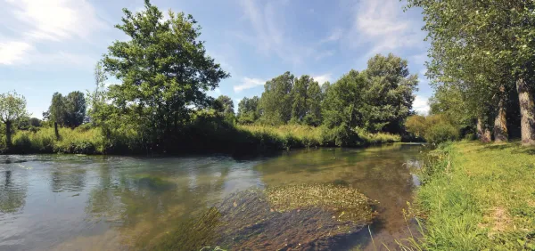
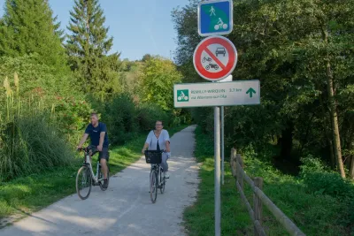
8 major cycle routes, all converging on Lumbres, which cover the whole of the inter-communal area and allow villages to be linked together without having to get into a car.
Read article
Download a GPX route from emmenezmoi.com and follow it easily with your favourite app!
Read article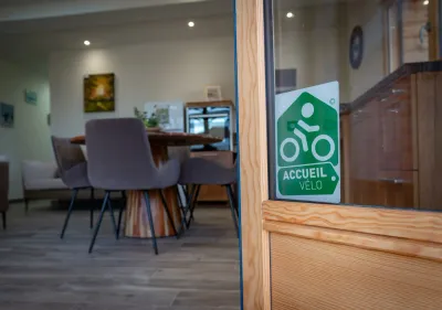
Are you travelling by bike in the Saint-Omer area? Look out for the green cyclist logo: it indicates establishments with the Accueil Vélo label, committed to welcoming you in the best possible conditions.
Read article